Maps for logistics network management mobile strategic planning geomarketing environmental planning network planning utilities
Benefit from worldwide map data
Start now and try for free →Fast
Our tile and WMS services provide fast access to maps with worldwide coverage.
Continuous Updates
We continuously synchronize our data with the OpenStreetMap project.
Reliable
We have been providing commercial OpenStreetMap services since 2009. Trusted by companies all around the world.
Ready-to-use Map Styles
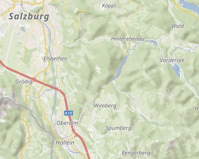
Choose the right style for your application.

Possible Use Cases
Our map services can be integrated into geospatial applications of all kinds, from logistics and urban planning to utility mapping and field research.


Transparent pricing and fair terms
Commercial use is permitted: Use our maps in paid web apps or websites with restricted access and also for asset tracking.
Multiple projects
All plans allow commercial use, even across multiple projects, without extra charges.
Fair
Free test accounts. Transparent pricing. No minimum contract duration. No hidden surprises in our terms and conditions.
Allowance for traffic peaks
You may exceed your monthly quota once per quarter.
Clean design – flexible use
We support your local projections and any map scale. We also provide high-resolution maps for printing.
HQ tiles
Our tiles are available as vector tiles and high-resolution raster tiles for mobile applications.
Individual Layers
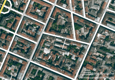
Select individual layers, such as roads or labels, to display over aerial images.
Printable
For high-quality printing, we offer maps in resolutions of 300 DPI and higher.
About Omniscale
We have been providing commercial OpenStreetMap services since 2009. We support the OpenStreetMap project as a Bronze Member and are also a member of FOSSGIS e.V.