Background maps for your application
WMS, WMTS and raster tiles – fast, reliable and available worldwide
Since 2009, we have been providing reliable, fast and worldwide OpenStreetMap services – as OpenStreetMap WMS, WMTS tile service or as raster tiles in your local projection. Whether web, mobile or desktop GIS: our services integrate quickly and easily.
OpenStreetMap Tiles (WMTS/TMS)
Fast OpenStreetMap raster tiles in WMTS and XYZ/TMS standard. Ideal for web applications with Leaflet, OpenLayers, MapLibre & Co.
- WMTS & XYZ/TMS
- HQ tiles
- HTTP2 & TLS
OpenStreetMap WMS
We deliver OpenStreetMap maps in any size and resolution – perfect for desktop GIS such as QGIS, ArcGIS, MapInfo or uDig and for high-resolution printing.
- Supports OGC WMS
- Any image size & DPI
- GetFeatureInfo support
Projections & Coordinate Systems
We deliver maps in your local projection – e.g. ETRS89/UTM, Gauss-Krüger, WGS 84 and many more.
- All common EPSG codes
- Any map scale
- View all projections
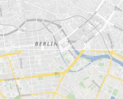
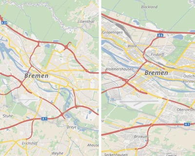
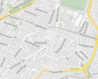
OpenStreetMap Map Styles
Choose the right style for your application: the colourful basemap, a subtle grayscale map as a neutral background, or the outdoor map.
- Basemap (colour)
- Grayscale
- Outdoor (terrain & trails)
- Individual layers selectable
Local Coordinate Systems
Many GIS projects work with local coordinate systems. Our services deliver maps directly in your desired projection – without any complex transformation on your side.
- ETRS89/UTM (EPSG:25832, 25833)
- Gauss-Krüger (EPSG:31466–31469)
- WGS 84 (EPSG:4326)
- Many more on request
 UTM-32
WGS-84
UTM-32
WGS-84
High-Resolution Printing
For planning documents, reports and presentations we deliver maps in print quality – directly via our WMS service.
- 300+ DPI
- Any paper format
- QGIS, ArcGIS, MapInfo
- Also grayscale for b/w printing
Use Cases
Our map services integrate wherever maps are needed.
Web & Apps
Leaflet, OpenLayers, MapLibre – simple integration via URL
Desktop GIS
QGIS, ArcGIS, MapInfo, uDig – as WMS or WMTS
Mobile
Android & iOS – HQ tiles for razor-sharp display
Planning documents & reports in print quality up to 300+ DPI
All Features at a Glance
Tiles
Every plan includes a monthly quota of free map requests. Each individual tile of 256×256 pixel is counted as one tile request.WMS requests
We also support untiled requests for clients that only support WMS. For billing, the requests will be converted into tiles and deducted from your tile monthly quota.Individual tile grids
We do not only support the web-mercator projection (used by Google Maps). Request our maps in other projections and at any map scales.Individual Layers
Choose the exact layer you need, such as streets or labels to overlay on aerial images.
HQ tiles
Our tiles are available in high-resolution, optimized for smartphones and tablets.
printable
For high-quality printing, we offer high-resolution maps with 300 DPI or higher.
Continuous Updates
A new building, a new street? We continuously synchronize our data with the OpenStreetMap project. Our system detects major errors and vandalism and pauses updates to maintain the quality of our maps.Trust
We have been providing commercial OpenStreetMap services since 2009. Trusted by companies all around the world. From engineering offices and government agencies to international enterprises.Reliable
Our services are designed for high availability with redundant servers in multiple data centers. Our yearly availability since 2016: >99.99%.Worldwide
Our map services provide worldwide coverage. Our services also support many local projections.
Support
We are happy to help you if you have any questions about integrating our services into your application.HTTPS/HTTP2
All services are available via secured HTTPS connections. With support of the new HTTP2 standard, you can access our tiles even faster.