Map Examples
Discover some examples of Omniscale OpenStreetMap maps here
Perfect as Background Maps
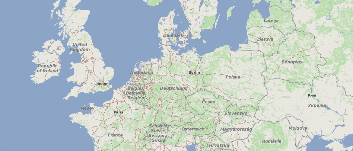
The adjusted styling of the OpenStreetMap data is suitable for the usage as background maps. Information such as POIs are completely left out.
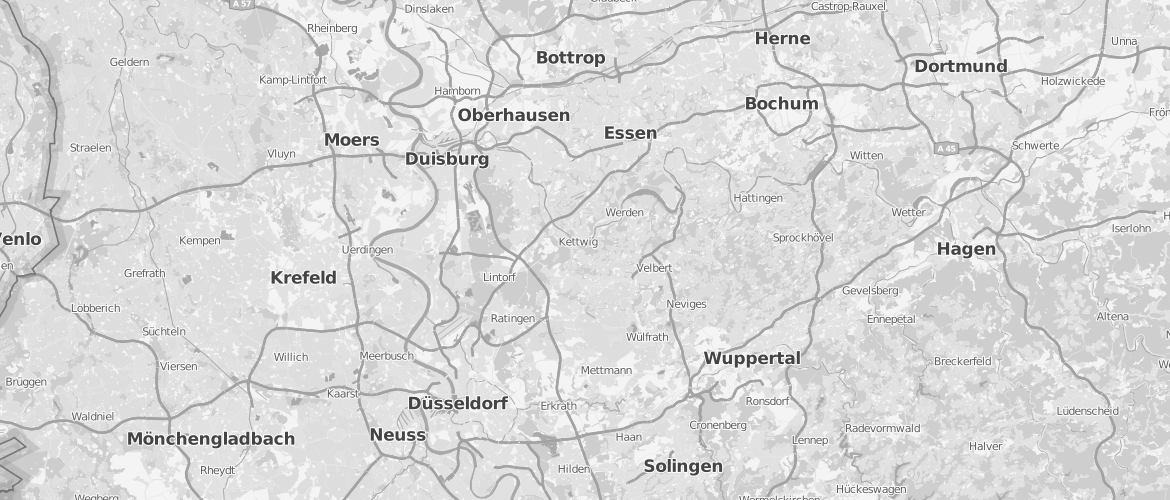
Grayscale Version
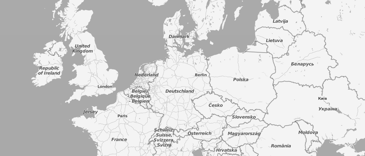
For a better visibility of your specific data we offer the possibility to integrate OpenStreetMap data also as a grayscale version.
Live Maps
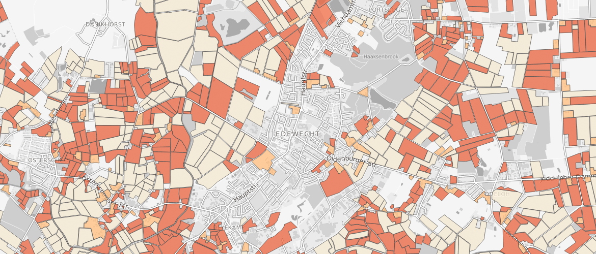
Edited OpenStreetMap data is updated continuously. The maps are therefore always up to date.
Many Details
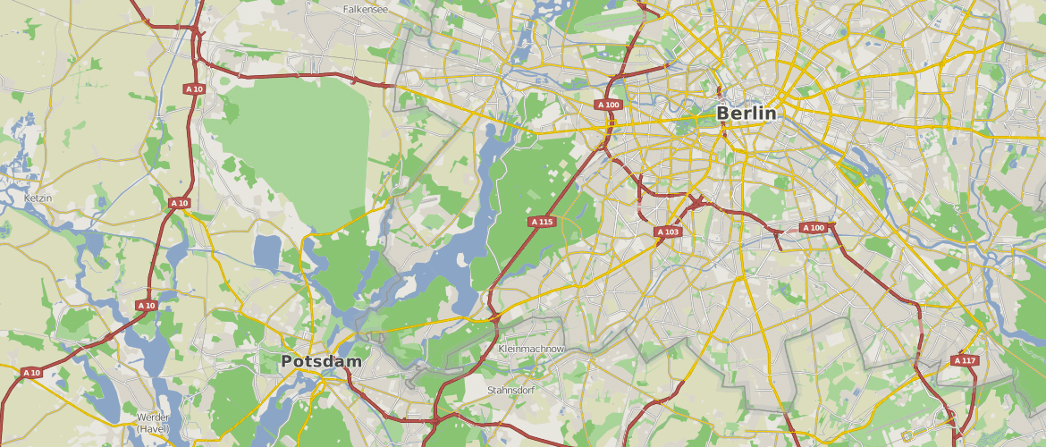
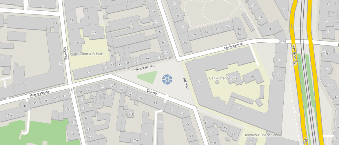
Omniscale OpenStreetMap maps are characterised by a very high degree of detail. Thus, for example, house numbers are displayed.
World-wide Coverage
The map service provides OpenStreetMap maps the whole world. In addition to a colour version the same data is also available as a grayscale version.
